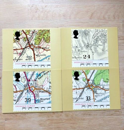
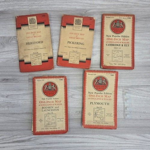
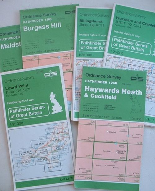
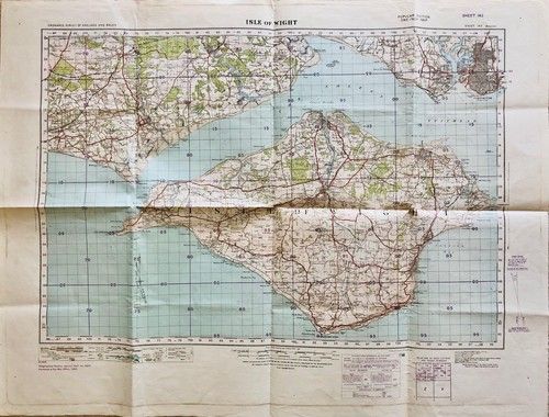
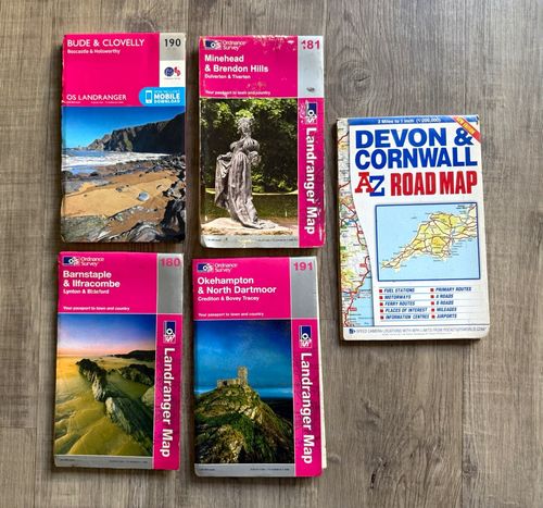
Joblot Ordnance Survey Landranger mixed Devon & Cornwall Maps
Price: 5.45 GBP Condition: Acceptable
Use this page to compare prices and key details for Joblot Ordnance Survey Landranger mixed Devon & Cornwall Maps. We summarise the important specs and give quick buying tips so you can choose confidently. Looking at Joblot Ordnance Survey Landranger mixed Devon & Cornwall Maps? Below you’ll find a clear overview of the main features, what to check before buying, and how to compare offers from different sellers. Here’s a practical summary of Joblot Ordnance Survey Landranger mixed Devon & Cornwall Maps — including key item specifics, condition guidance, and what typically affects price so you can spot a good deal.


Item Specifics
Related searches: Books, Comics & Magazines | Textbooks, Education & Reference | Maps & Atlases
Description:
Joblot Ordnance Survey Landranger mixed Devon & Cornwall Maps
Publication Name: OS Landranger Map
MPN: 180, 181, 190, 191
City: Bude, Clovelly, Minehead, Barnstaple, Okehampton
Publisher: Ordnance Survey
Subject: Geography & Geosciences
Series: Landranger
Type: Road Map
Format: Paperback
Language: English
Author: Ordnance Survey
Country: United Kingdom
Region: Devon, Cornwall
Map Scale: 1:50,000, 1:200,000
Buying tips
Before you buy, check that the key specs match your needs (compatibility, size/fit, and any included accessories). Also confirm the seller’s returns policy and the delivery estimate. It’s worth comparing more than just price: condition, included parts, warranty/returns, and delivery costs can change the overall value. If you’re unsure, prioritise listings with clear photos and complete specifics. To avoid surprises, confirm model/variant details and look for accurate photos. If you’re buying used, pay attention to wear, working status, and what’s included in the box.
Price notes
Prices can vary based on condition, completeness (box/accessories), and seller location. Compare multiple listings to get a realistic range before deciding. The best value usually comes from the right mix of condition and total cost (item price + delivery). Check if the listing includes essential accessories to avoid extra spend. If you see big price differences, it’s often down to condition, extras, or shipping. Compare similar-spec listings rather than only the cheapest result.
Condition notes
Condition matters a lot for resale and reliability. Make sure the listing photos and description match the stated condition, and double-check any notes about faults or cosmetic wear. For used items, look for clear evidence of working status and any included accessories. If the condition is unclear, consider messaging the seller before purchase. If the item is listed as refurbished or pre-owned, verify what “refurbished” means for that seller (tested, repaired, cleaned) and whether returns are offered.
FAQ
What should I check before buying Joblot Ordnance Survey Landranger mixed Devon & Cornwall Maps?
Confirm the key specs (compatibility, size, and included accessories), then compare total cost (price + delivery). Review photos, condition notes, and the returns policy.
Why do prices vary for Joblot Ordnance Survey Landranger mixed Devon & Cornwall Maps?
Price differences are usually caused by condition, included extras, seller reputation, and delivery costs. Compare listings with the same model/variant for a fair comparison.
Is this page an official store?
No — Chumbay helps you compare offers from sellers. Availability and final pricing depend on the marketplace listing.